Challenge

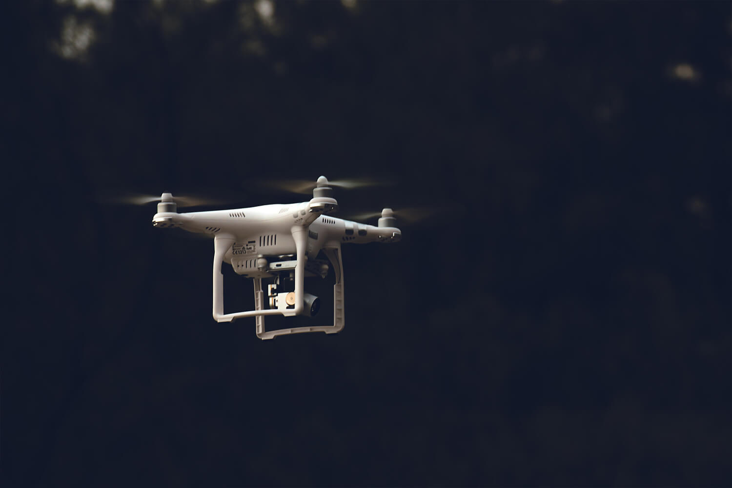
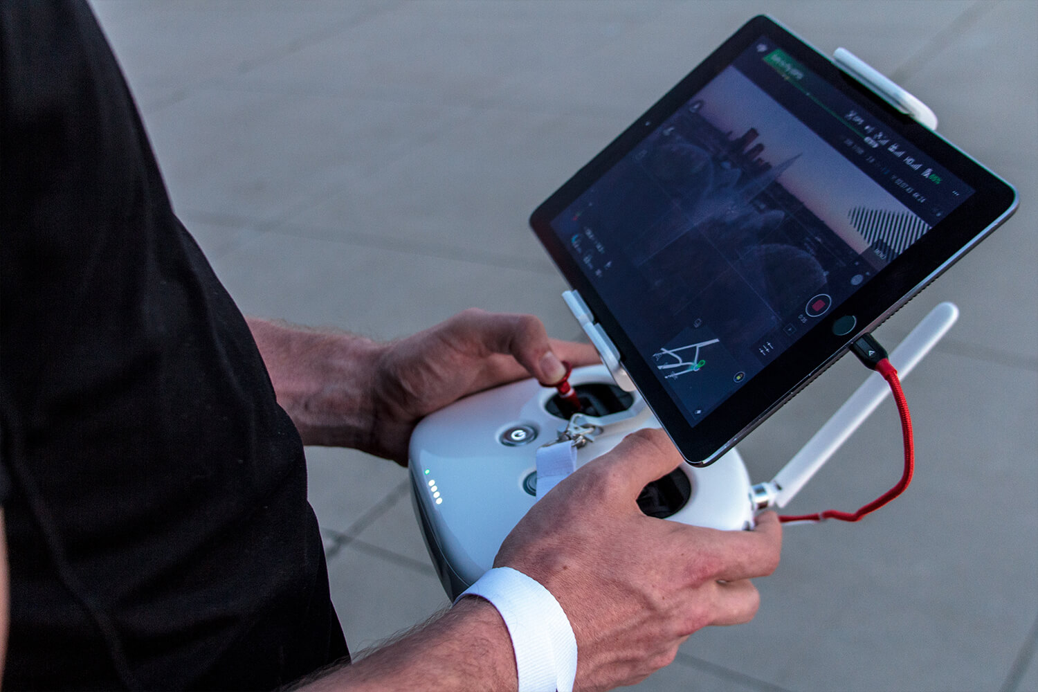
Aerial inspection involves taking thousands of photos of a structure in rapid time, however these images are almost useless if their exact location on a structure cannot be pinpointed. As a result, small teams and self-employed drone operators are losing valuable time in searching for the exact location of photos, even when their inspection reports are very detailed.

Solution

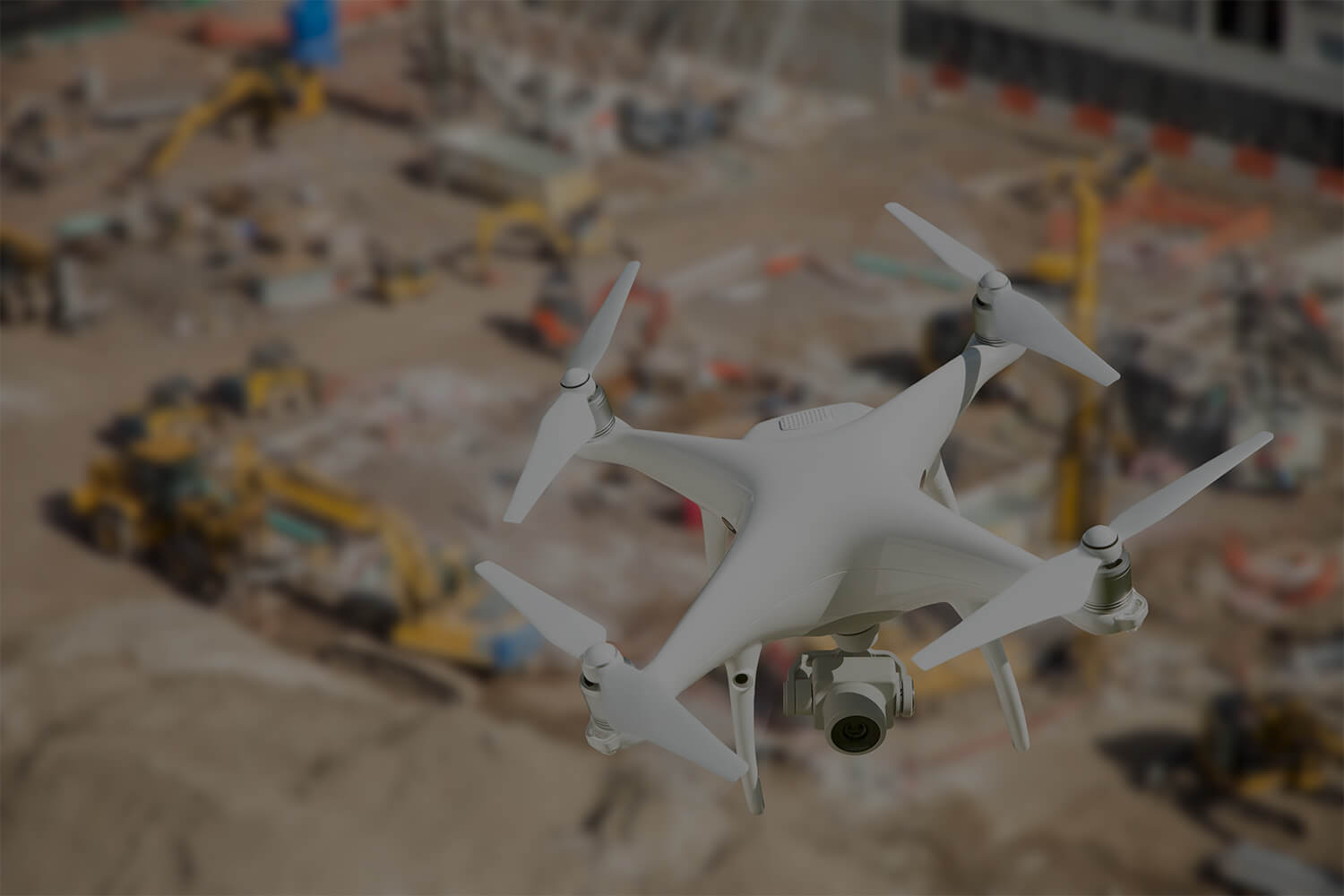
TRIK not only turns photos into 3D models, but also creates the links between them. You can use the 3D model to search for files, produce reports or add measurements quickly and easily.

By drastically cutting the time used in locating your images you can increase the efficiency of your business, distinguish yourself from the competition and focus on building your brand.

The Best Drone Mapping
& 3D Reporting Software

Benefits

Stand Out

Differentiate yourself from the competition with in-depth results to share with your clients

Expand Your Business

Get more routine work through comparing multiple 3D models on one platform

Easy to Handover

Share files online with live annotation or export onto a USB stick and view offline without the need for software

Build your Brand

White-label version available for businesses

Packages

3D Mapper

Convert photos into digital 3D models. Export to open in CAD/BIM software or open in our online live 3D Viewer.

3D Viewer

Display multiple 2D & 3D data formats (eg. pictures, CAD or mapped models) in one platform. View via tablet, desktop, or VR/AR.

3D Report

Make measurements or comments on the 3D model. Share results via webapp; 3D reports or printable files.

3D Project Management

Assign tasks, track progress, view current status and discuss among teams from the 3D model in real time.

dept of international trade
Pae Natwilai is the founder of TRIK

About Us

TRIK was established in 2015 by Pae Natwilai, a former oil and gas inspection and maintenance engineer, who was named as one of the rising stars in the Forbes 30 under 30.

The company has since received funding and support from institutions such as Ordnance Survey, InnovateUK, and the Royal Academy of Engineering, as well as entering into a partnership with Department for Transport to digitise rail and infrastructure in the UK.

CONTACT US