Drone Mapping &
3D Reporting Tools
TRIK is an enterprise software solution that allows efficient use of drone photography for structural inspection. It automatically turns drone photo feeds into an interactive 3D model, which can be measured and annotated.
The 3D model created also doubles as a database allowing you to search for photos, draw additional data, detect structural changes and create maintenance projects directly from our platform.
LOOKING FOR AN INNOVATIVE REPORTING
SOFTWARE FOR YOUR NEXT PROJECT?
Drone Operators
Share interactive 3D models
Simplify your work.
Process 3D models and deliver work on one platform.
Ease to share 3D result.
Viewable via desktop, tablet or mobile phone. No software required.
Impress your clients.
Show what they can analyse with their data right now and with repeated flight.
Surveyors & Engineers
Easer to create 2D & 3D Reports
Spend less time on site.
Take an accurate measurement from the digital 3D model instead of estimation on site.
Ease to search information.
Click on the 3D model to see related data.
Save time in creating reports.
Make comments on the 3D model and automatically export into printable reports.
Insurance & Asset Managers
Compare changes in 3D
Consistent Records
Every comment is auto-tagged with its location and saved in a preset format.
Easy to compare change.
Scroll through a timeline of 3D models to see how the structure has changed.
Simple team communication.
Pin on the 3D model to make comments, attach a file, or assign tasks.
Why Us?
Because we do what others can't

Accessible via Tablet & Computer

Search photo by model using 3D model

Convert comments into printable reports

Customisable reports template
And we keep on innovating...

API to create your own software

Experience in VR/AR

Automate drone flight path

Real-time 3D mapping

Automatic analysis (Machine learning)


TRIK helps us simplify our workflow and significantly improve our client retention. Our clients are amazed at how simple it is to use data in 3D.
Construction Site

Roofing
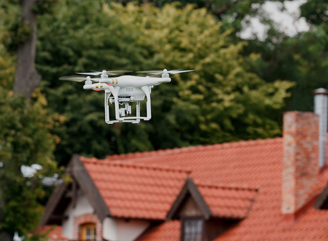
Buildings

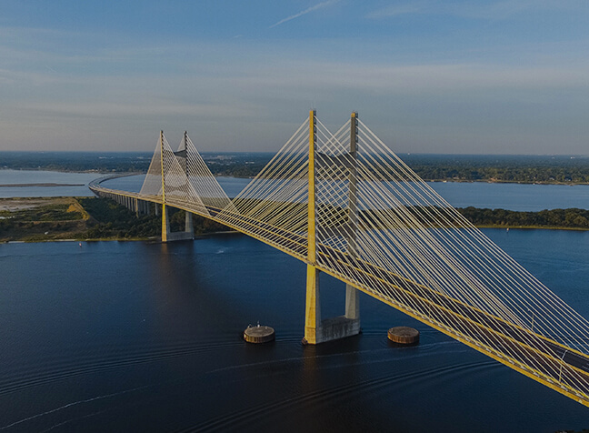
Bridge
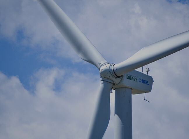
Wind Turbine
Rail

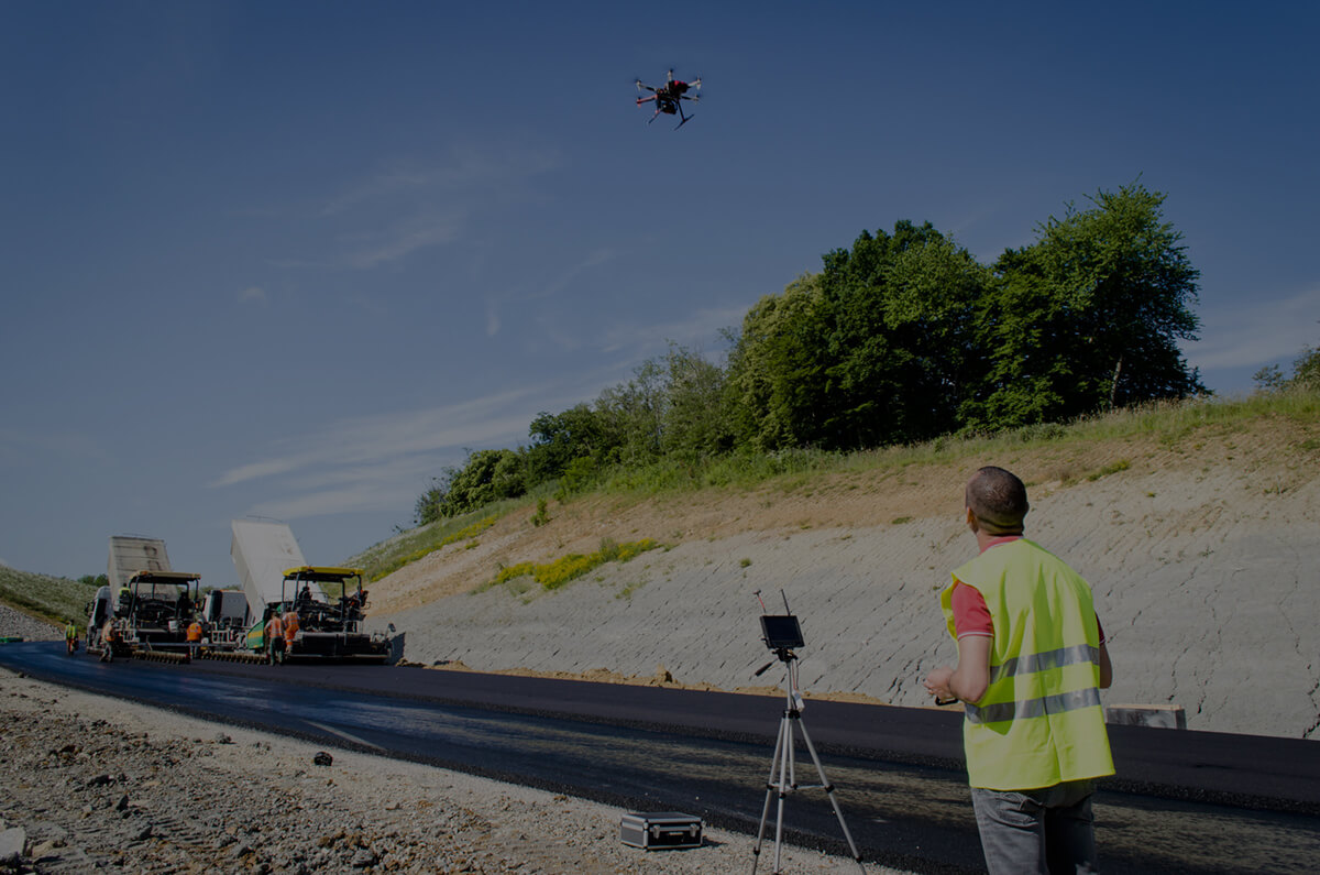
Road

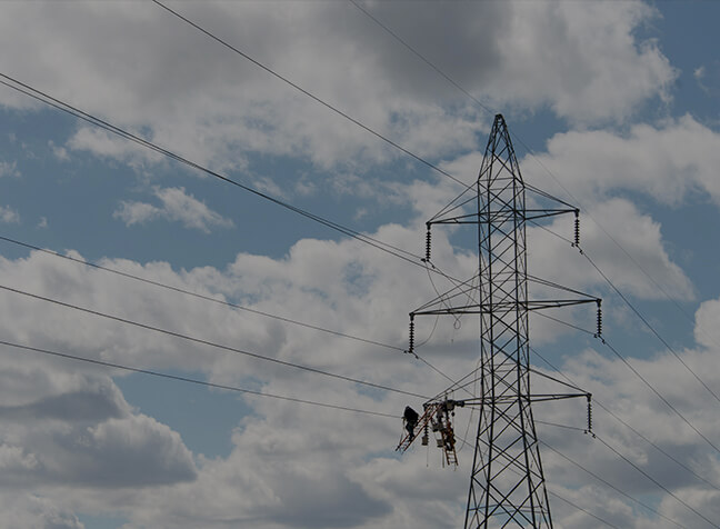
Pylon
